EXPLORATION AND ASSESSMENT

Geophysical surveys we offer

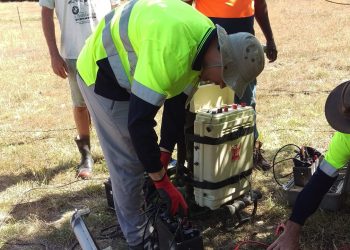
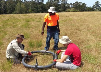
We use Ground Penetrating Radar (GPR), Magnetotelluric (MT), Controlled source audio-frequency magnetotellurics (CSAMT) , Audio-frequency Magnetotellurics (AMT) and Transient electromagnetics (TEM).

Laboratory Analyses we offer

We provide a range of analytical services including Scanning Electron Microscopy, Energy Dispersive Spectroscopy, micro-Computerised Tomography, X-Ray Diffraction, X-Ray Fluorescence, Core Scanning, Petrography, Geochemistry

Geothermal reservoirs (5 km depth)

  • Image fault locations, including angle and depth of faults
  • Map reservoir depth and boundaries
  • Distinguish between thermal fluids and cold fluids
  • Track recharge zones, cold water inflows and perched aquifers
  • Identify clay cap and zones of intense hydrothermal alteration (high temperatures zones, boiling zones)

Ground Penetrating Radar (10 m depth)

  • Map fracture locations, connectivity and directionality
  • Find depth to groundwater table
  • Identify underground steam zones and hot or cold water horizons
  • Identify potential subsidence zones caused by hydrothermal alteration where there is no evidence of subsidence or heat at the surface
  • Find buried hot spring rocks as they are indicators of a potential blind geothermal reservoir at depth
  • Locate buried kauri logs
  • GPR can also be used to locate buried peat, tsunami, and hydrothermal eruption deposits; man-made objects; sink holes and tomos; paleo-basins; liquefaction zones; and gas pockets.
  • Using a higher frequency antenna than we use for typical geothermal surveys, we can also map construction materials, such as steel reinforcing, pipes and cavities. Please note that high resolution (due to the higher frequency) results in a decrease in the  penetration depth.   

Hot spring rock analyses

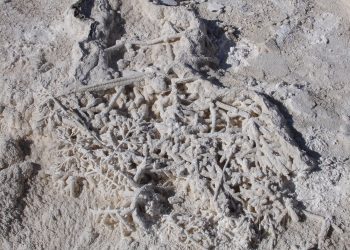
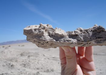
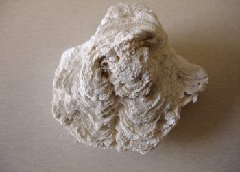
  • Locate buried hot spring rocks that may be the only sign at the surface of a potential, useable resource at depth
  • Age date historic hot spring rocks
  • Establish temperature of historic discharging water, flow conditions, and distance from hot upflow zone
  • Identify changes in the geothermal system over time
  • Track heat migration zones
  • Identify potential future subsidence zones

Water sampling

  • Collect water samples from field sites
  • Determine fluid type and composition

CO2 flux survey

  • Map sites of discharging CO2
  • Distinguish zones where CO2 discharge is from geothermal systems, volcanic systems and decaying organic matter

Specialised heat flux survey

  • Measure heat discharge at the surface
  • Track heat migration pathways

Geoscientific evaluation of geothermal sites

  • Geological, geochemical and geophysical field work
  • Analyses and interpretation
  • Conceptual models

Scanning Electron Microscopy and Energy Dispersive Spectroscopy

  • Decreased productivity: Is mineral deposition responsible for decreased permeability? How quickly are permeable channels blocking up? How many voids remain open? Are some rock units more susceptible to mineral infill? How and why are minerals influencing well performance?

  • Fracture versus matrix permeability: Are fractures and voids connected or isolated? Are there lateral or vertical variations within the same stratigraphic unit?

  • Sustainability: Assess production and re-injection well sustainability from a perspective of fluid-rock interaction.

  • Clays: Is clay formation the product of subsurface environment, maturity or composition?  Do subtle variations in clay composition influence rock permeability and in turn well productivity?
  • Changes over time: Map mineral formation sequences directly related to changes in fluid temperature, chemistry, type and pH. Track steam overprinting and migrating boiling zones.

  • Subsidence: Which rock formations are more prone to subsidence?  Does the same rock unit located at different parts of the geothermal field behave differently in terms of subsidence? What are the mineralogical controls on subsidence?

X-Ray Diffraction, X-Ray Fluorescence, Petrography, Core Scanning, micro-Computerised Tomography

  • Determine mineralogy
  • Establish elemental composition and its distribution
  • Quantify elemental composition
  • Map void and fracture quantity, connectivity and distribution